In a nutshell
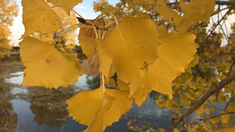
While there is great potential in linking data collected by observers on the ground and data collected by remote satellites, few studies have successfully combined these two types of data. Researchers from the Appalachian Laboratory at the University of Maryland Center for Environmental Science compared observations of leaf phenology collected through the Nature’s Notebook PopClock campaign to continental-scale satellite imagery collected by the Moderate Resolution Imaging Spectrometer (MODIS). To best align these two datasets, they implemented several quality control procedures, including (1) filtering out volunteer observations of phenophases that were reported in the wrong season, (2) removing observations with more than 10 days between the reported first “yes” and the prior reported “no” for a phenophase, and (3) removing reports from sites that were not located in or near forests. The first two procedures improved the correlation between ground and remote observations, but the third procedure resulted in the largest improvement, resulting in a correlation between the two datasets of r2 = 0.67.
What is special about this study?
Combining ground and remote observations creates challenges including a mismatch in the scale of the data (individual plant versus large geographic area) and different types of uncertainty in the measurements. The authors of this study give an example of how to successfully link citizen science data with remotely sensed observations. They provide useful guidelines for how to perform quality control procedures to remove outliers in a dataset like this one to better combine the two types of data. These guidelines can be used by researchers to ensure the best use of data collected through Nature’s Notebook.
What does this mean for YOU?
Observations made by people on the ground and observations made by remote cameras boast particular strengths. A person standing next to a plant can provide reliable reports on the status of life cycle stages on a very local scale. But it is not always possible, due to time, money, or access, to collect data in person. Remotely-sensed data give a picture of what is happening over a large area, over states, countries, and even the entire globe. And the data can be collected continuously, as remote cameras can take pictures at any time.
Being able to more easily combine citizen science and remotely-sensed data will give scientists a large amount of information over a range of geographic scales, to better understand the response of forest plants to future changes in climate.
Citation: Elmore, A.J., Stylinski, C.D., and Pradhan, K. 2016 Synergistic Use of Citizen Science and Remote Sensing for Continental-Scale Measurements of Forest Tree Phenology. Remote Sensing. Doi:10.3390/rs8060502.